We woke up like at 6:30. It was early, but we'd slept pretty well. Jet-lag was gone already. Or maybe our body knew what was to come and decided to overcome the jet-lag no matter what. After showering, dressing up like if we were cyclists and packing all the stuff, we went for breakfast. Porridge, quite a few buns, some noodles, nuts, coffee and soya milk. A good one.
After breakfast, back to the room, brush teeth, finish packing and off we went. We started cycling at 7:50. We had planned starting between 7:30 and 8:00, so we were on schedule. Nothing to fear about, right?
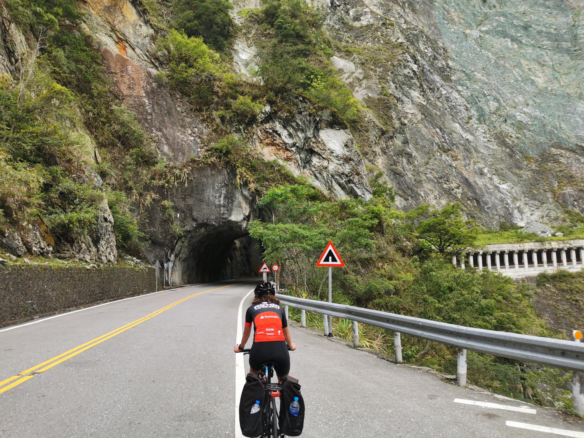 Pic. 1: The first few pedal strokes. Still many to come.
We had like 70 km uphill in a row, with almost 3,000 m of elevation gain, reaching a maximum altitude of 3,275 m above sea level. There were a few uncertainties regarding this stage, which actually was THE STAGE. Would the altitude affect us? Would we be able to climb so many kilometres in a row? Would the last 10 or 15 km be as hard as the profile and people said? What about the weight of our luggage? Would it make it really a lot more difficult? We had no good answers to any of them, just information that we had read, common sense, some previous experiences we could use to compare but they we never done such a long climb.
We had seen some videos and read some information about people feeling the lack of oxygen once they reached the mark of 2,000 m or 2,500 m above sea level. We had also read that the body gets better used to high altitudes when you reach them little by little, i.e. it's not the same to get to a place at 3,000 m of altitude all of a sudden by plane, than to get there by bus or bike, having passed through all the intermediate elevation levels. Back in 2015 we had travelled to Langmusi (at approx. 3,000 m of elevation too) from Chengdu by bus, and we didn't have any problems. We were hoping it would be the same this time.
The longest climb we had done till that moment was around 30 km, and it felt already long. Sure, we had done it at a competitive pace, so taking it easie might make it feel less long. Anyway, between 30 km and 70 km there's a gap of 40 km, which is huge. We knew we had to ride at an easy pace and keep calm, but still we were not so sure about our ability to complete the stage. We hoped we could do it as that was the purpose and the challenge.
As this was no competition and the bikes with the luggage weighted quite a lot, definitely a lot more than our regular bikes, we had already assumed that we might have to get off the bike at some points to get through the really insane ramps.
In any case, even if there were a lot of uncertainties, we didn't think about them too much. We are of the opinion that you always need to do some research, be aware of what you are doing and have a plan B in case plan A doesn't work out, but you can never be 100% certain of everything. If you don't try, you'll never know if you can do it or not. In our case, in case we found out we couldn't do it, we would return to Tianxiang. That was plan B.
Weather was not at its best. It was quite cloudy and small showers fell at some points. The rain itself was not so bad, but a wet roads on a hilly day is not ideals nor is it the safest option. We rode for about an hour and a half without stopping. After that, we stopped for a few pictures.
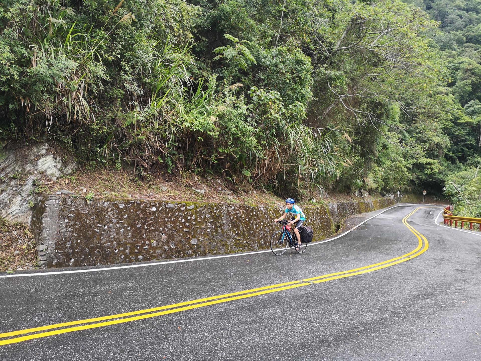 Pic. 2: Did we say the first kilometres were not so steep? Well... mostly...
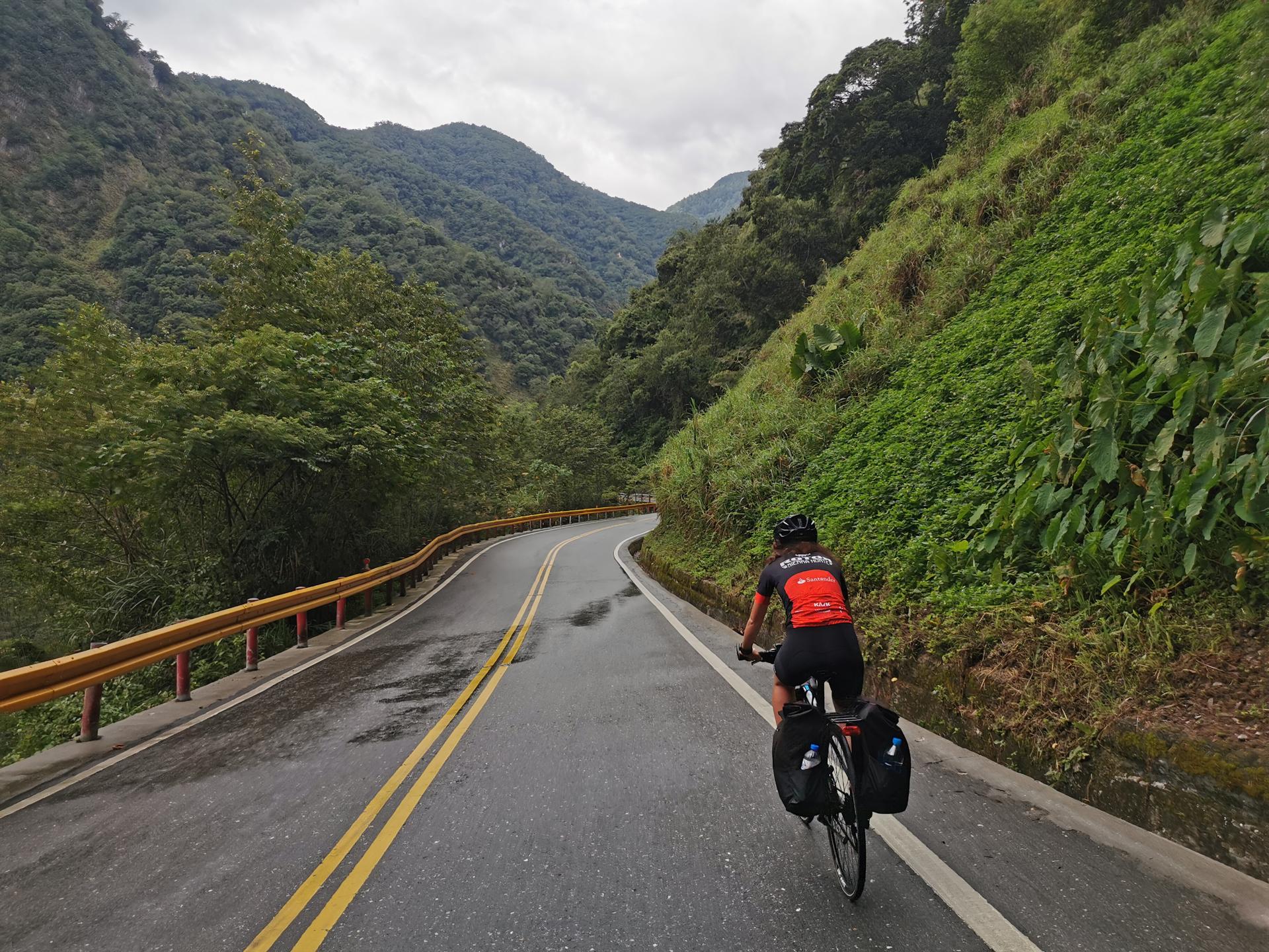 Pic. 3: The views were breath-taking
After the pictures we continued our way. There was not much time to lose and we were still quite fresh. 2 hours or so after we started pedalling, we reached Hua Lu Xi, at well 1380 m above sea level and 20 km or so from Tianxiang. That meant we had climbed already almost 900 m and our pace was around 10 km/h.
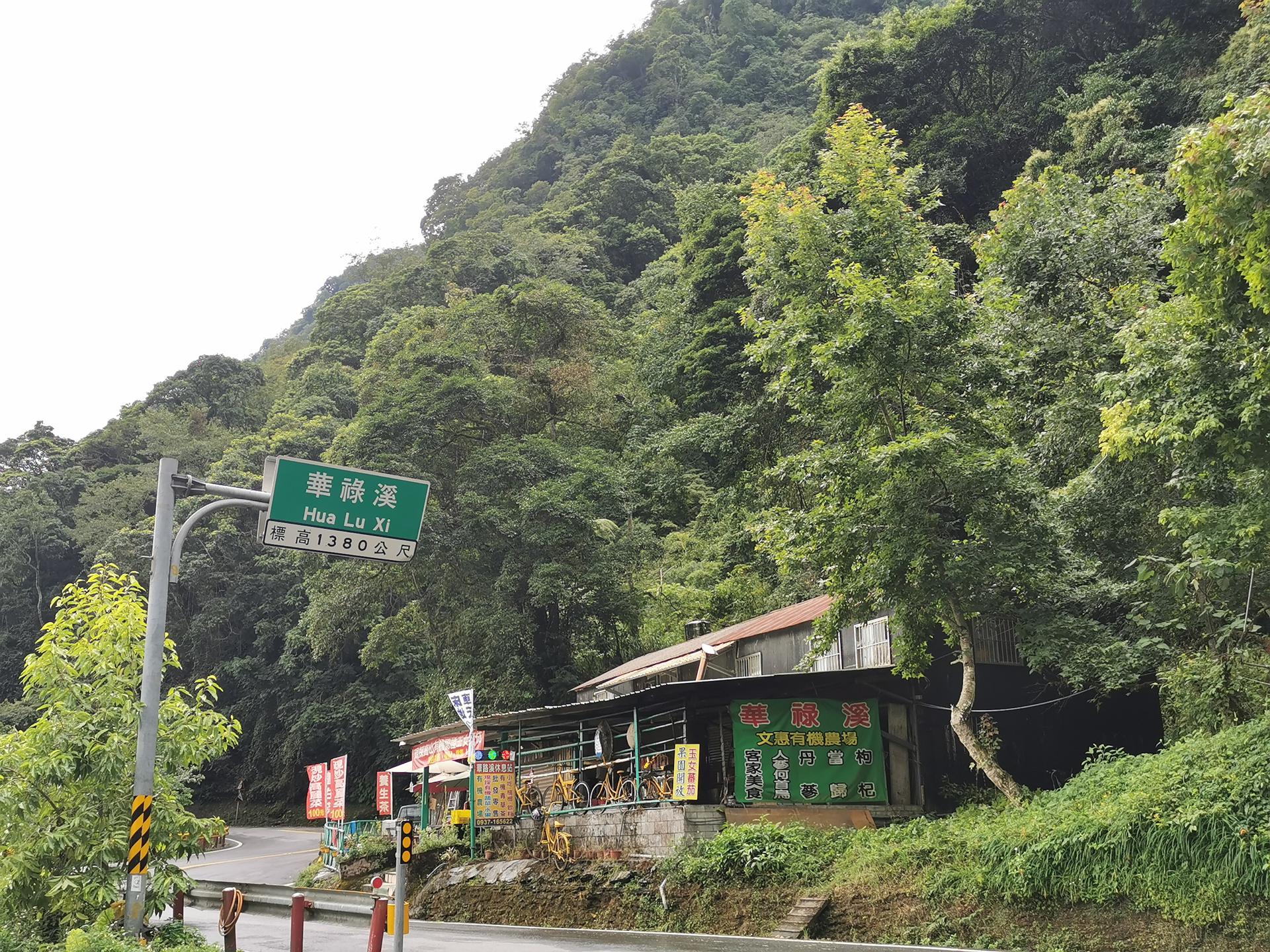 Pic. 4: Hua Lu Xi, 2 hours after the start
We stopped for a few more pictures, drank some water and isotonic, ate some lemon flavour jelly beans and kept going. We had seen a lot of pictures from this area showing these vivid red coloured bridges made of steel, but we had only seen a small one so far. Where were those bridges hidden?
At around 12:00 we found an Eiffel bridge produced in France for a railway line in Vietnam that ends in the Taroko Gorge. We went off the bikes to take a few pictures and enjoy the paradise that was surrounding us.
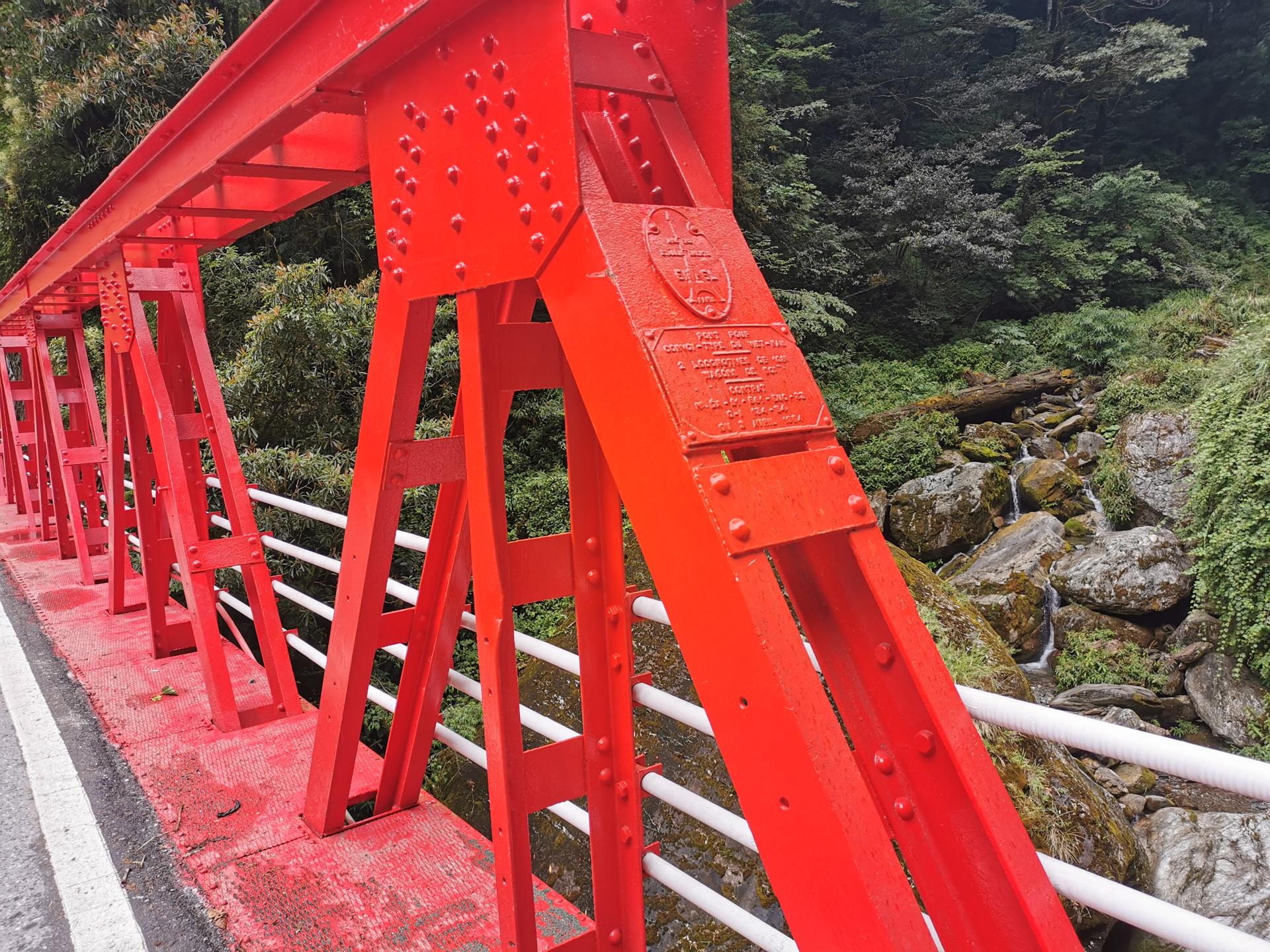 Pic. 5: Eiffel bridge
At this point, 4 hours after leaving the hostel, we had covered some 35 km. Considering we had stopped a few times, we were more or less climbing at a steady 10 km/h, which was approximately what we had originally planned. We felt good.
The roads were not as well prepared for cyclists as they are along the coastline. There were only two lanes, sometimes even only one, and not especially wide. Fortunately, there was not a lot of traffic. We saw two more cyclists along the way. They were locals with road bikes. They went up to the top from Tianxiang and back. We also crossed a few cars and trucks, but what we mainly saw was a lot of scooters. Many of them. Some of the people in the cars and scooters cheered us.
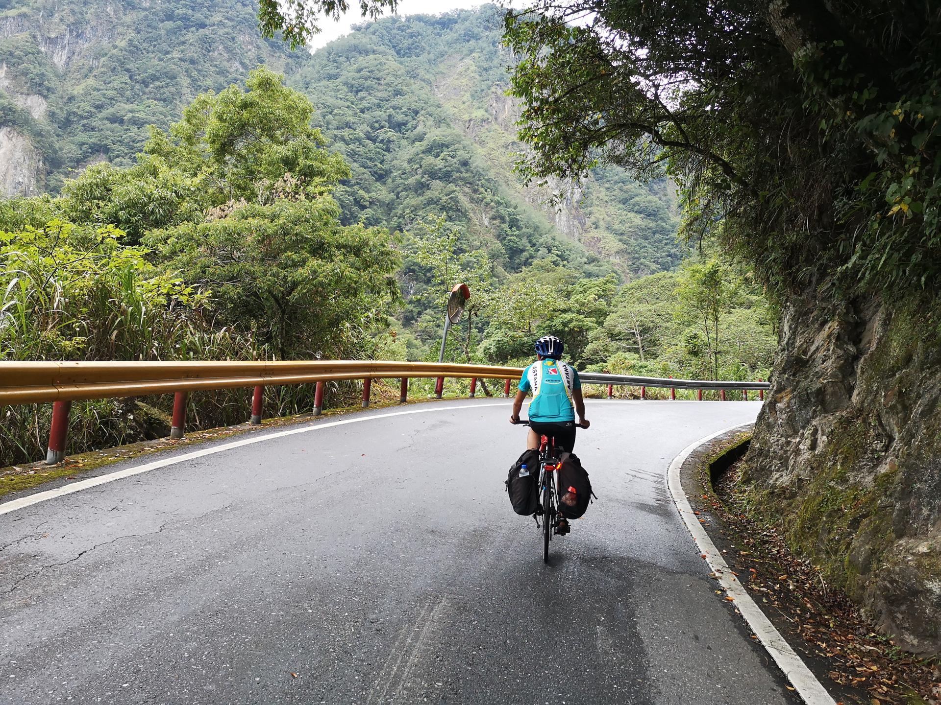 Pic. 6: Not the widest road ever
At one point there were some works on the road. The works lasted for a few hundred meters, and vehicles were only allowed to pass at certain times of the day. We were lucky because we got there at a time when it was open. It was about to close and it opened again half an hour later, so we were indeed very lucky. Losing that half hour would had been disastrous.
As we kept climbing and climbing, we started to feel a bit exhausted. Kilometres passed like at slow motion. Elevation was also not increasing as fast. After like 50 km, there's a short - 3 km - descent, which on one hand feels good but on the other not as much. It brings you back to a lower altitude level with less kilometres to ride in order to reach the same highest altitude. You know what I mean, right? When we thought only 900 m of elevation gain were left, all of a sudden there were still almost 1,100 m of remaining elevation gain. That came as a real blow.
On the positive side of things, the scenery continued to be impressive. Not that the good views relieved the exhaustion, but at least it felt worth it.
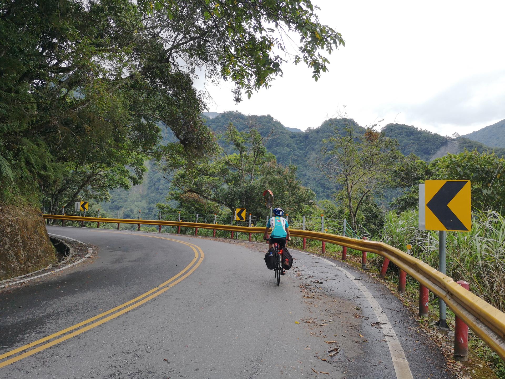 Pic. 7 : The views made it worth it
At around 14:30, we had been cycling, counting with the stops for pictures and eating something, for around 6 hours and a half. Still more that 10 km to the top. Still like 700 m of remaining elevation gain. We had started to face some of the steepest slopes, a few short segments close to 30% slope percentage were hurting our legs. We overcame the first few steep slopes on the bike, until we finally were forced to put our feet on the ground and push the bikes.
 Pic. 8 : Pushing the bikes
We were going through one of the worst moments of the journey. It started to rain in a heavy way. We found a place to stop and hide from the rain. An old couple walking down came to us. They asked us where we were going. We told them we came from Tianxiang and wanted to get to Renai. They told us we better went back to Tianxiang, as the way up to the top of the climb was very hard and from there to Renai, even if downhill, it would take us quite a while. We started to have many doubts. We thought they might be right, but at the same time we were so close to the top that giving up felt really bad.
We still didn't have a hotel in Renai, but we knew where we wanted to stay. We called the hotel. They still had rooms. We told the owner where we were and how long we expected it would take us to arrive. He kind of cheered us up. We decided to keep going and booked the room.
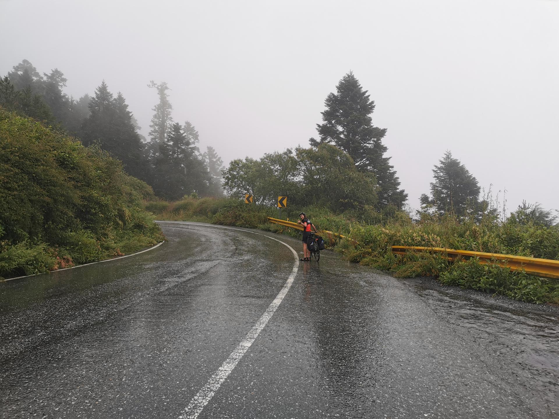
The next 8 kilometres took us one hour and a half. We thought we were never going to make it. Really. Kilometres passed so slow and time so fast that we feared we couldn't make it before sunset. It was cold and foggy. Our mood and vitality were low. 2.5 km from the top there's a cafeteria. We stopped for hot chocolate. We couldn't spend much time, but we needed to warm up a bit.
After hot chocolate, back to the bikes. A few meters uphill, 1 km downhill, 1.5 km uphill again, and we got to the top. The last 1.5 km were long. Long and scary. I think I'd never seen such denser fog. It is as if you were riding in the skies.
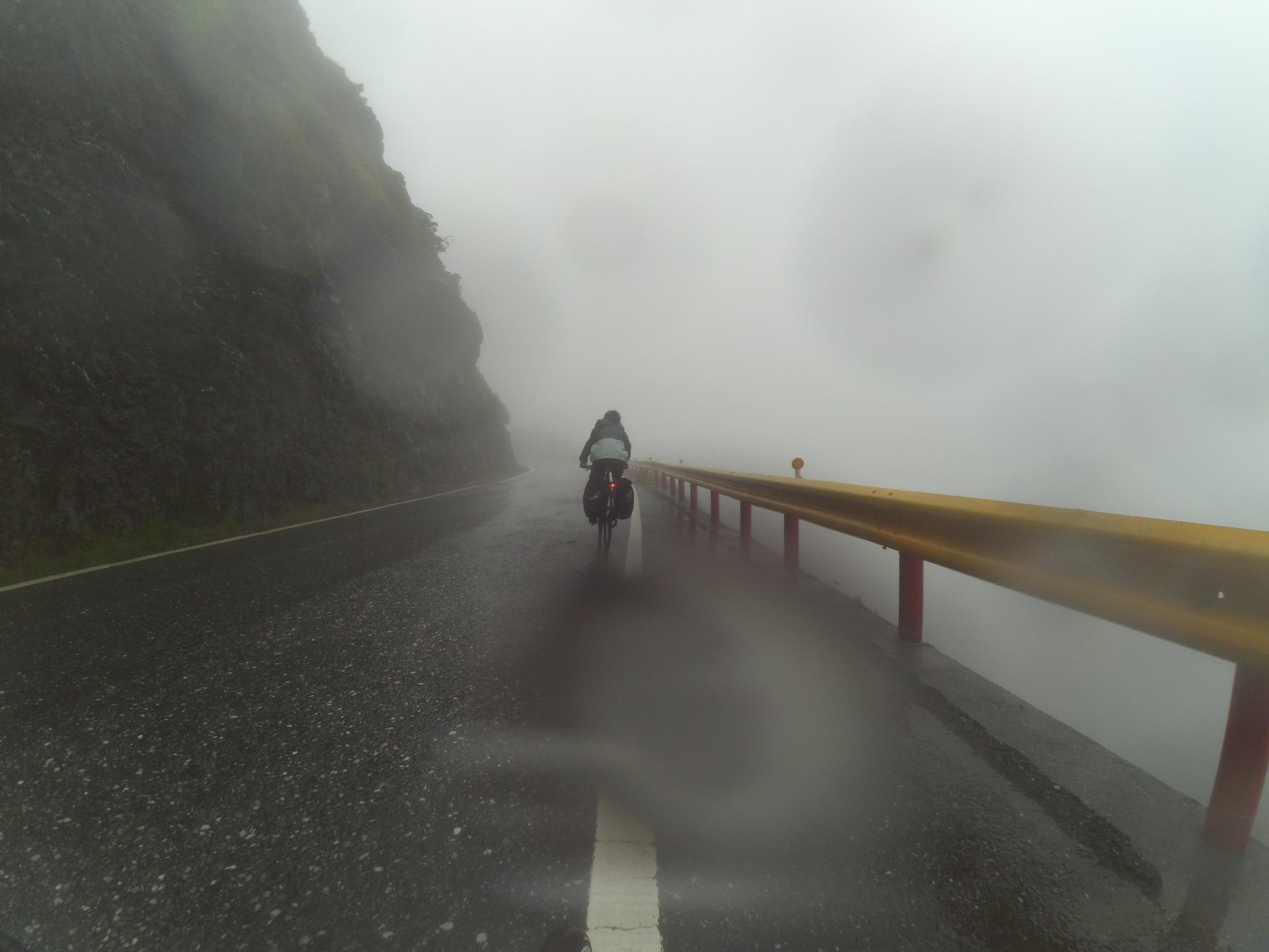 Pic. 9 : The fog was incredible
When we reached the top, at around 17:15, we had many different emotions. We had made it! We had climbed the world's hardest climb! We felt excited and also relieved. We felt cold. We didn't want to miss the moment, but at the same time didn't want to lose time. We took some pictures and started the descent to Renai.
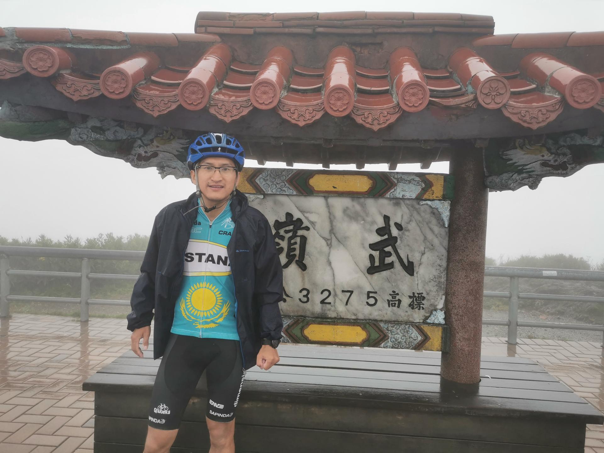 Pic. 10 : We had made it!
It was so foggy that we couldn't see more than 5 m away. The floor was really wet. We took the descent in a very cautious way. We had estimated we would do the descent at an average speed of 30 km/h, and we thought we were being conservative. After the first 5 km we were going down at an average of 18 km/h. Way too slow to make it to the hotel before sunset, but we didn't want to take any risk.
After those first 5 km we couldn't feel our feet anymore. The cycling sandals had been great till that moment, but were not the best for a cold and wet descent. We stopped to put on some warm socks. Instead of normal socks we used the socks they sometimes give you in the airplanes for long flights.
With no delay we continued to go down. After the first 10 km to 15 km conditions started to get better. It was not so foggy anymore, not so cold anymore and the descent was not so technical anymore. That allowed us to speed up a bit, even if almost always below the desired 30 km/h. We passed by some fruit karts. We stopped to buy some, but it was freaking expensive. We didn't buy any, as we thought (and think) they were trying to take advantage of us.
Like an hour and a half after we started the descent, maybe a bit less, we arrived to Renai. It was almost 18:45. It was already dark. We still needed to find hour hotel. We knew it was not in Renai itself, but a bit into the east following a small road. The way was longer than what we had desired, and hillier.
The hotel owner called us. He was concerned that we still had not got there. He wanted to come pick us up, but he didn't have a car big enough to fit our bikes. As the hotel was a bit hidden and not so easy to find, he explained us where we should get out of the main road to get to the village and agreed he would come to the main road in the village to meet us there.
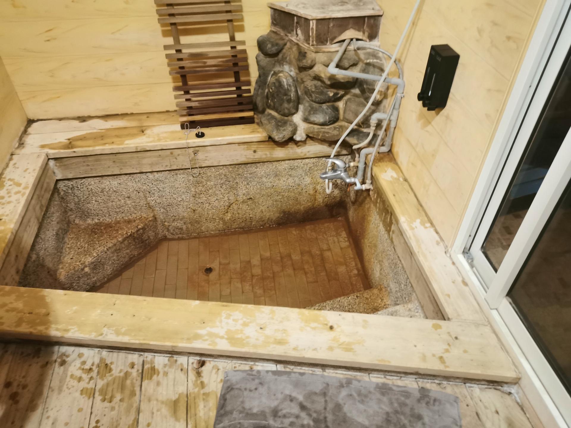
At like 19:15 we finally arrived in the hotel. The hotel consisted of cute bungalows with hot springs. There was nothing we wanted more than a bath in the hot springs after such a physically demanding stage. The hotel owner kindly explained us how to use them and also offered to bring some pre-cooked frozen dinner to our room. There was no restaurant service in the hotel, but he offered this kind of service instead. Not the best, but good enough.
We unpacked our stuff and put the food we'd not eaten in the fridge. It was at that moment when we realized that we had bought way too much water. We still had 3 – 4 L of water left. That means that we could have saved between 1 kg to 2 kg of weight each. After being short of water the first day we didn;t want the same to happen, but we definitely exaggerated a bit. In terms of food our estimation was better. We had eaten all the bananas and almost all the rice balls. Only two were left together with a few chocolate snacks.
In total we drank like 3 L of water + 2 L of isotonic and ate 4 bananas + 8 rice balls + 2 tea eggs + jelly beans and chocolate snacks between the two of us during the journey.
 Pic. 11 : Finally, relax
After the relaxing and long bath, we washed our clothes. In contrast to the previous days it was not sunny, so we were afraid the clothes wouldn't dry before leaving the next day, but we had no choice. Clothes were already quite wet because of all the rain. Better wet and clean than less wet and stinky. We hanged the clothes the best we could for them to dry. After that it was time for dinner and some more relax.
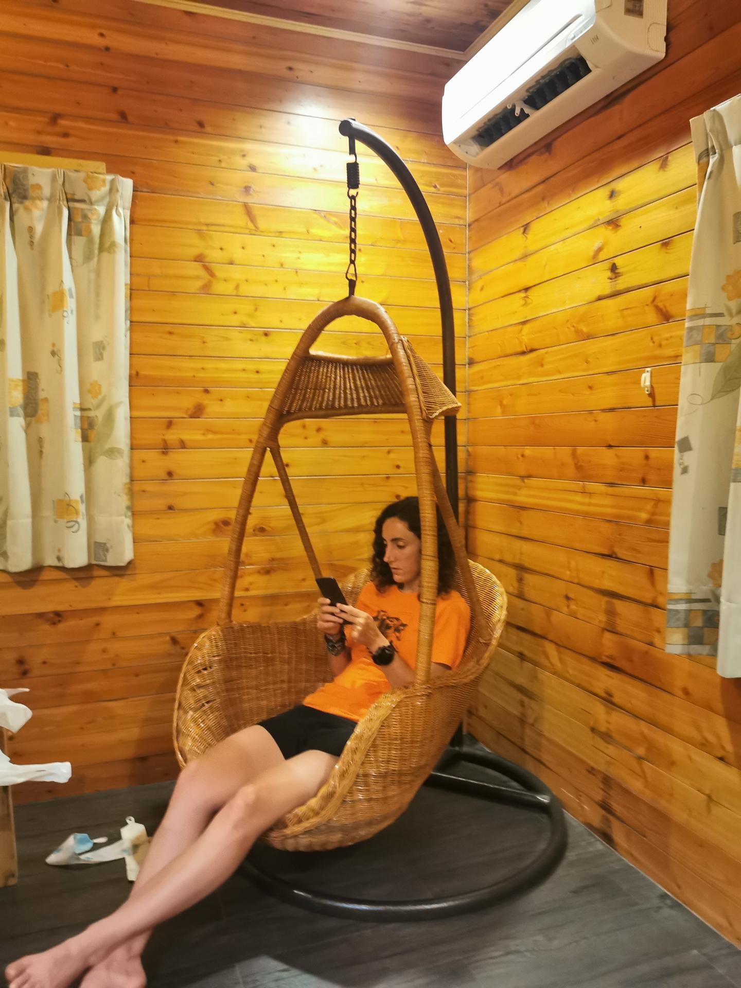 Pic. 12 : And some more relax